U O Z

Loading

Remote Sensing and Geographic Information Systems (GIS) Center

Gallary

The Center in Action
Field campaigns, laboratory work, and research outputs from the ARS&GIS archive — swipe or use the arrows to explore.
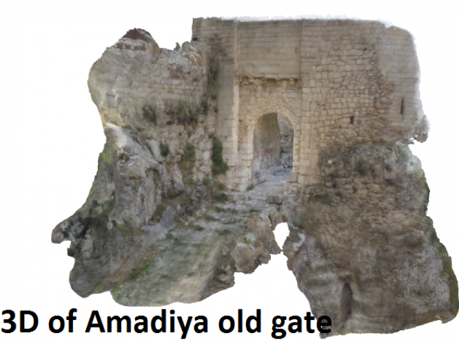
3D photogrammetric model — Amadiya old gate
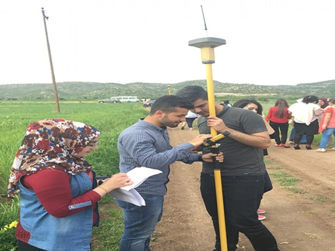
GNSS field exercise with Topcon rover
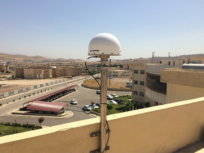
Roof-mounted Topcon choke-ring CORS antenna
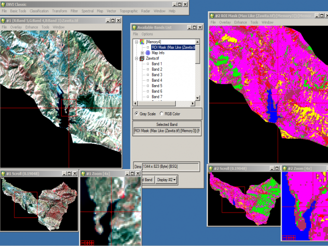
Multispectral classification of Zawita imagery in ENVI
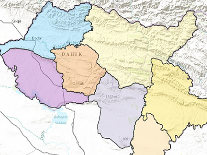
Classified districts map — Duhok Governorate
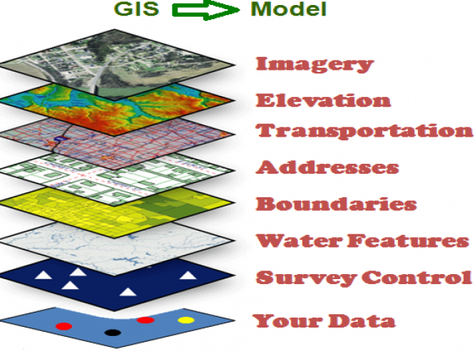
GIS layer model — spatial analysis workflow
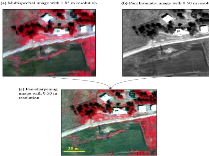
Pan-sharpening enhancement — WorldView imagery
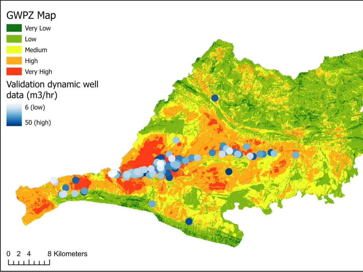
Groundwater potential zonation — Zakho Basin (AHP–GIS)
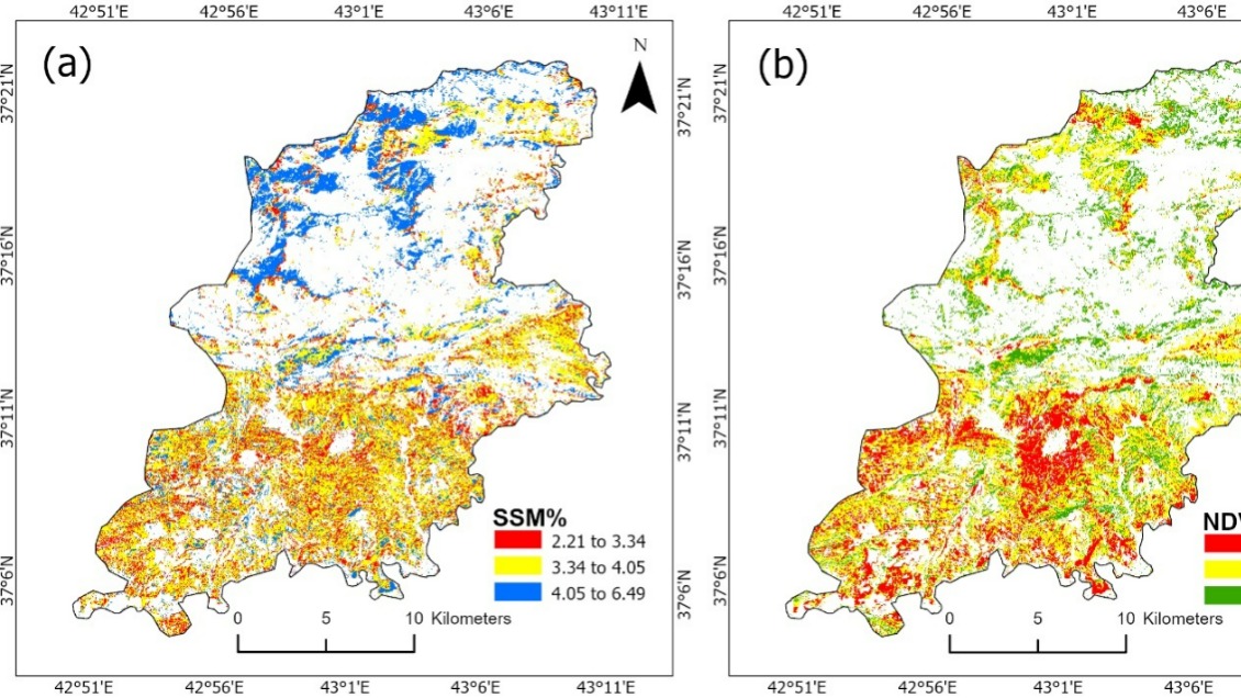
Surface soil moisture mapping — Batifa region
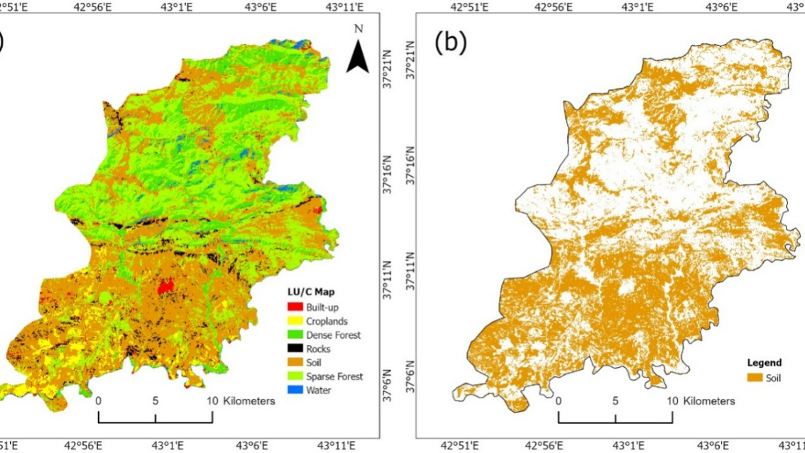
Soil organic matter prediction maps — Batifa
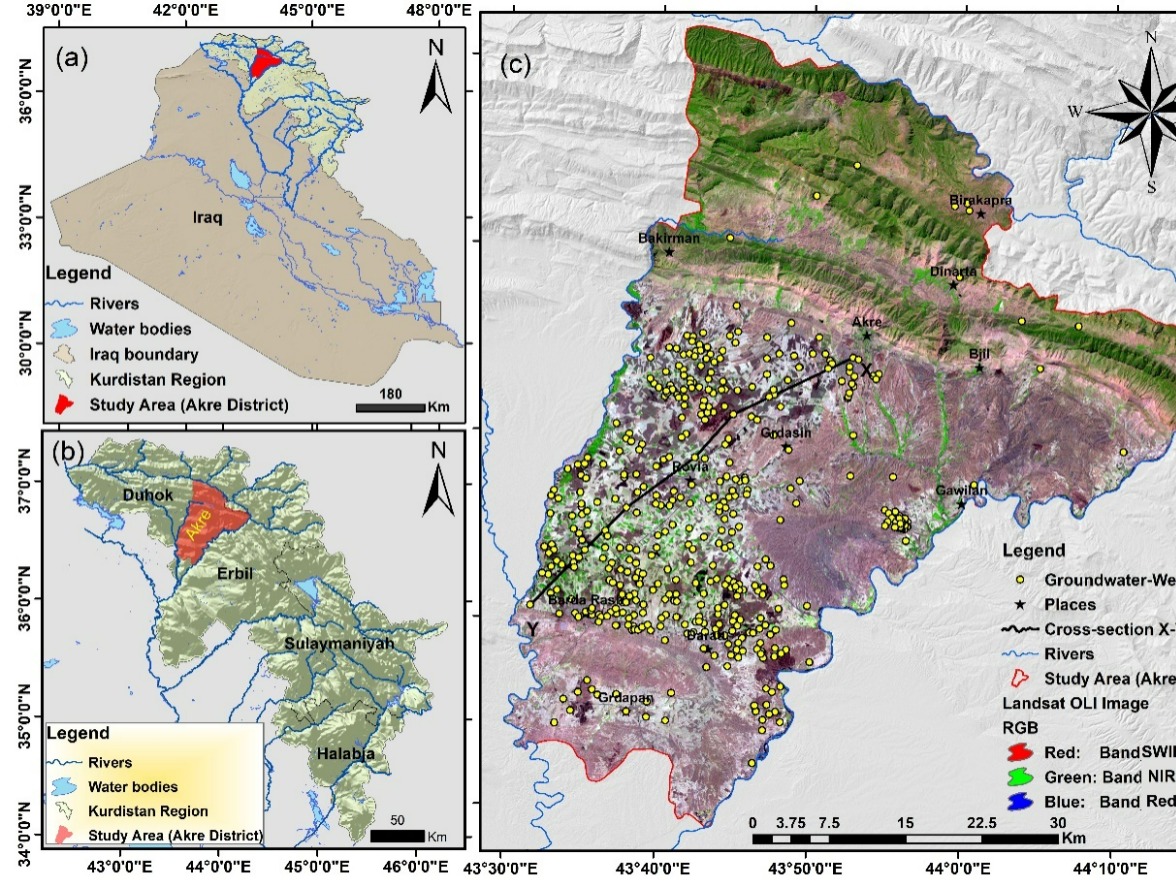
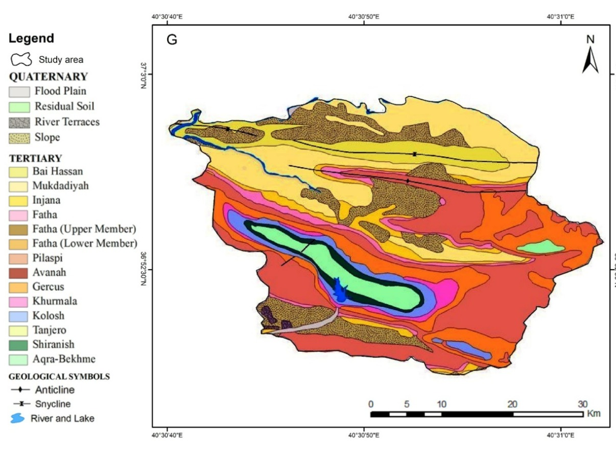
Hazard susceptibility zonation — Akre District
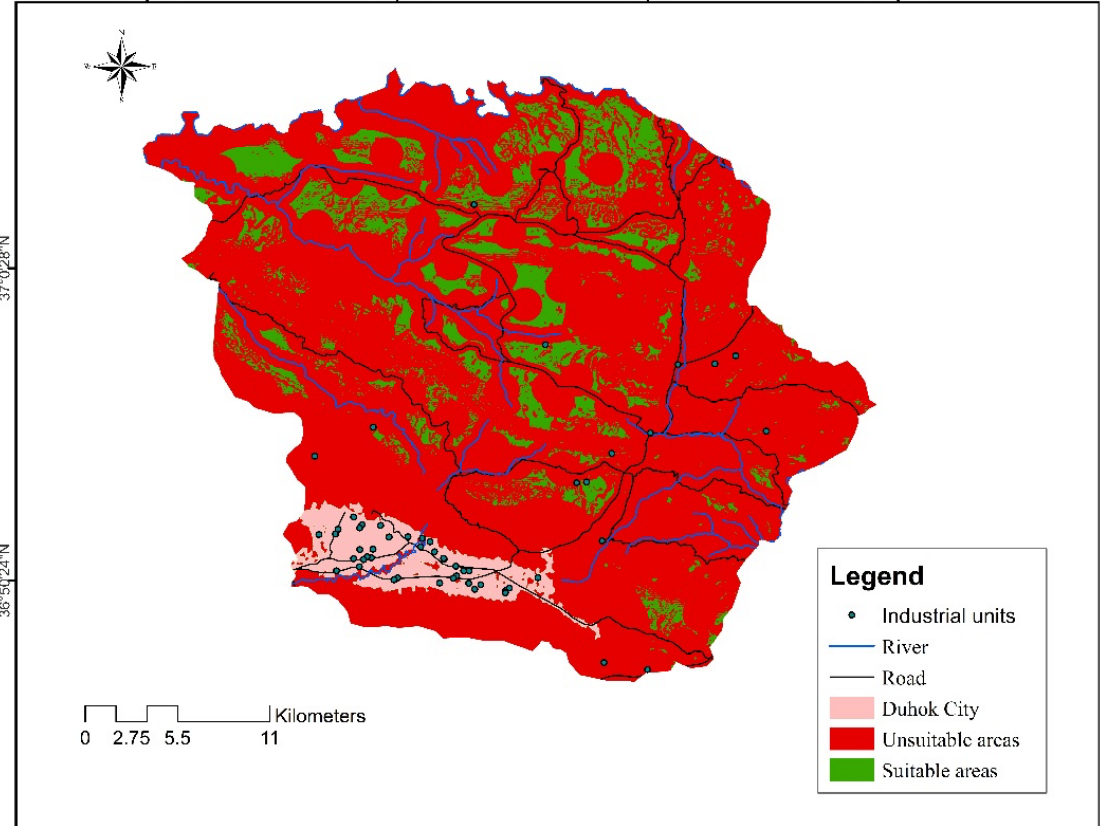
Land degradation vulnerability — Duhok District
3D terrain and lithology model — research visualization
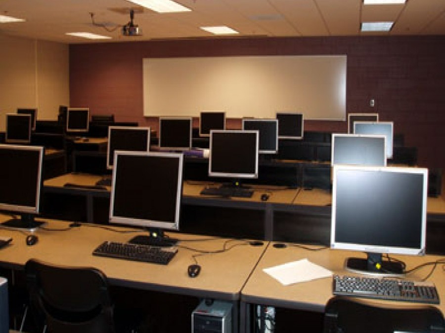
Inside the GIS & Spatial Computing Lab
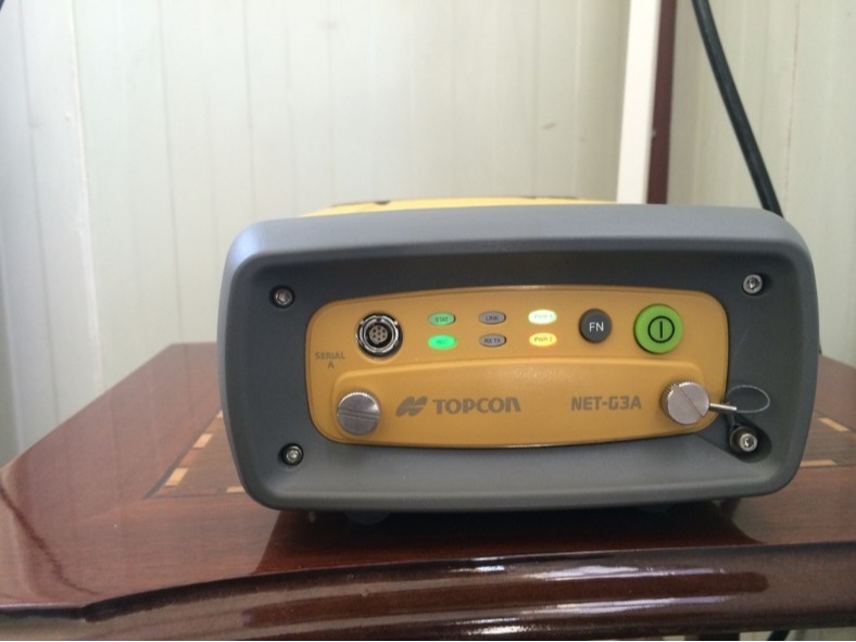
Topcon GNSS receiver — survey-grade equipment
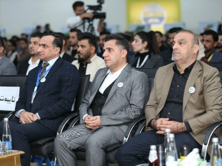
GIS Day 2024 — scientific panel with universities of Zakho, Duhok, and Mosul
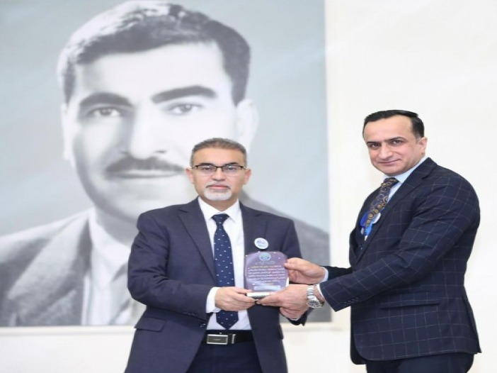
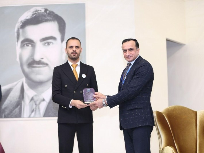
GIS Day 2024 — honoring participating researchers
GIS Day 2024 — certificate award ceremony