U O Z

Loading

Remote Sensing and Geographic Information Systems (GIS) Center

Labs & Facilities

Infrastructure Built for Precision
Purpose-built facilities that power the Center's research, training, and field surveying programs.
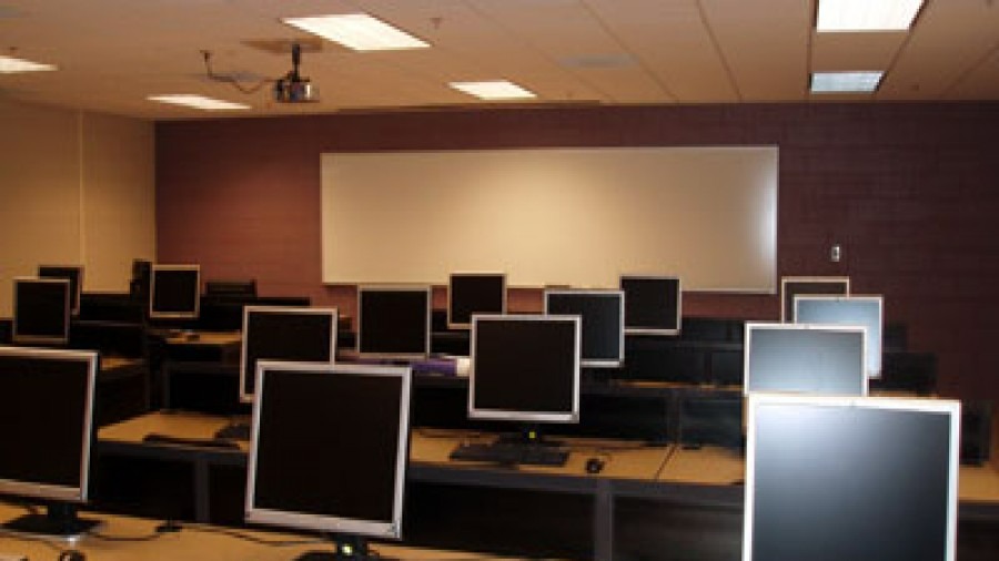
Inside the GIS & Spatial Computing Lab — University of Zakho

GIS & Spatial Computing Lab

A dedicated computational facility configured for advanced geospatial processing, cloud computing (Google Earth Engine), satellite image processing, and spatial modeling.
  • 25+ high-performance workstations
  • ArcGIS Pro, ENVI, QGIS, and Python environments
  • Local high-capacity storage servers for raster repositories
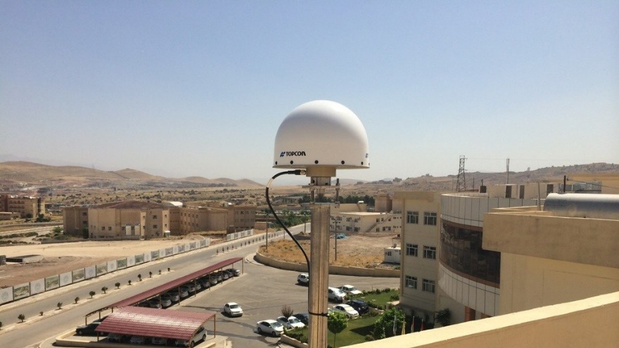
The Center's rooftop GNSS CORS station above the Zakho campus
Geodesy & GNSS CORS Station

Providing millimeter-accurate geodetic positioning and spatial reference frameworks for scientific surveys, engineering projects, and cadastral mapping.

  • Primary Base: Topcon NET-G3A high-precision receiver
  • Roof-mounted choke-ring antenna dome
  • Topcon GR-5 GNSS receivers for field data collection